The day in bike ride: May 29, 2010
May 31, 2010

I finally went on a ride I???ve been wanting to, down the Mississippi River to Minnehaha Creek, up the sides of a couple of lakes, and back home on the Midtown Greenway to the Hiawatha path. It???s 20.5 miles. I stopped to take a photo approximately every mile and here they are, locations duly noted on the map.

Photo 1, mile 0.75: Mississippi River. I didn???t think to start taking photos until I got down to the river, hence the 3/4 measurement.

Photo 2, mile 1.75: Mississippi River
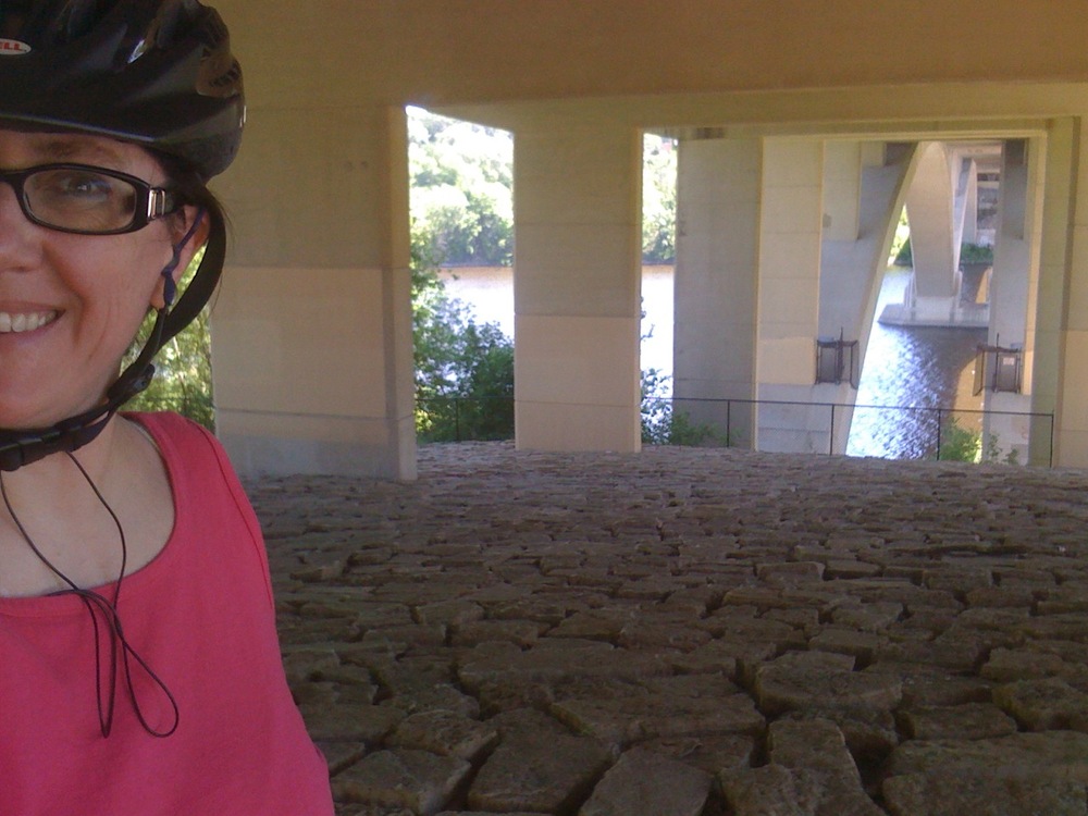
Photo 3, mile 2.75: Mississippi River, under the Lake Street Bridge
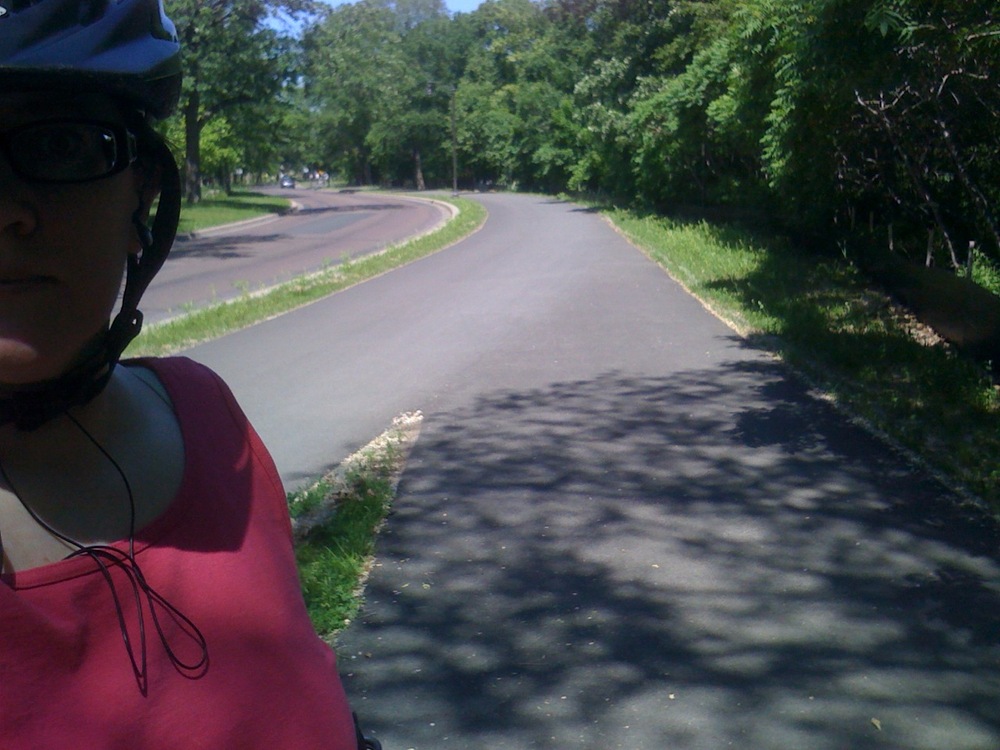
Photo 4, mile 3.75: Mississippi River
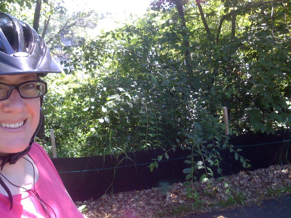
Photo 5, mile 4.75: Mississippi River, near the turn-off for Lock & Dam #1
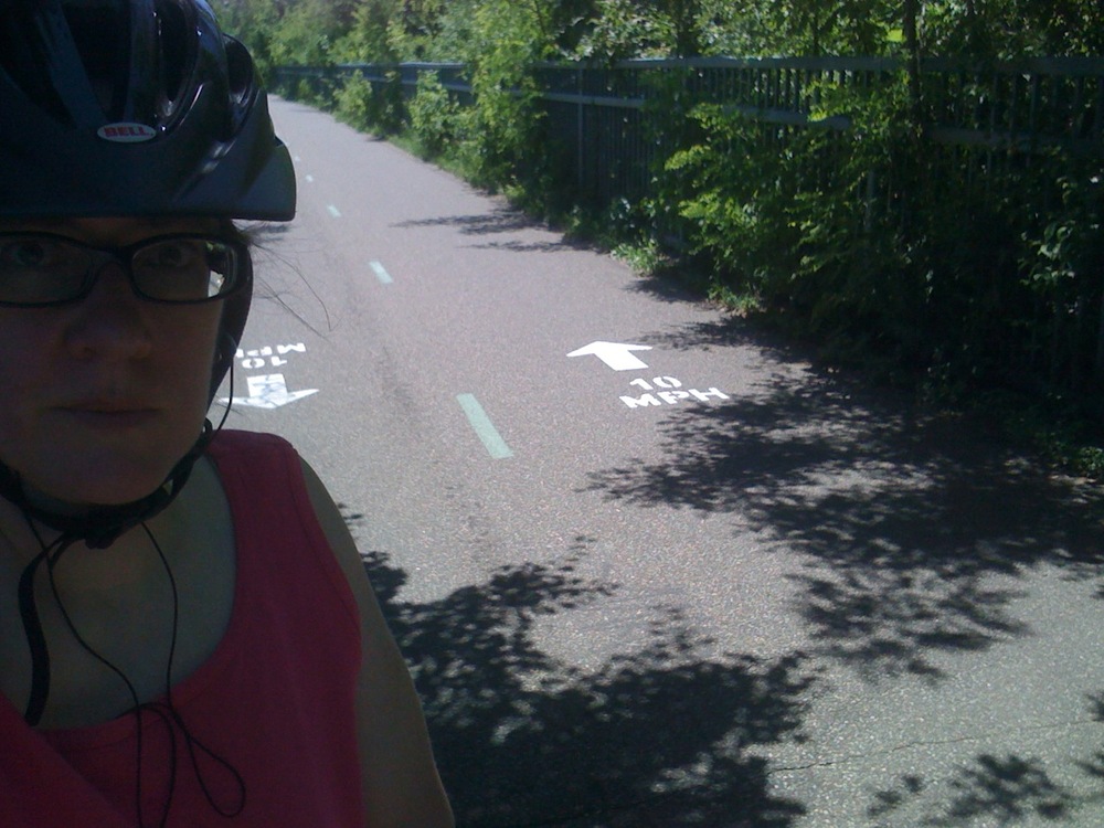
Photo 6, mile 5.75: Minnehaha Parkway

Photo 7, mile 6.75: Minnehaha Parkway, between Lakes Hiawatha and Nokomis
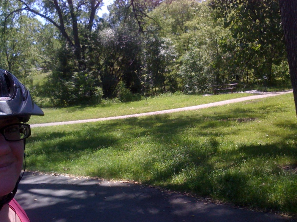
Photo 8, mile 7.75: Minnehaha Parkway

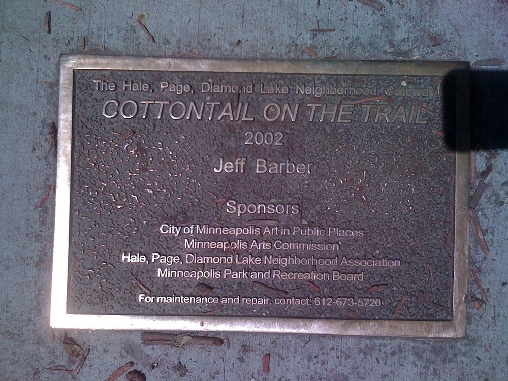
Photos 9, 10, mile 8.75: Minnehaha Parkway, ???Cottontail on the Trail??? at Portland Avenue. I did not know this was there, and it was time for a photo, honest!
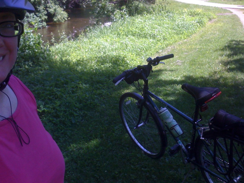
Photo 11, mile 9.75: Minnehaha Parkway

Photo 12, mile 10.75: jog up to Lake Harriet
??
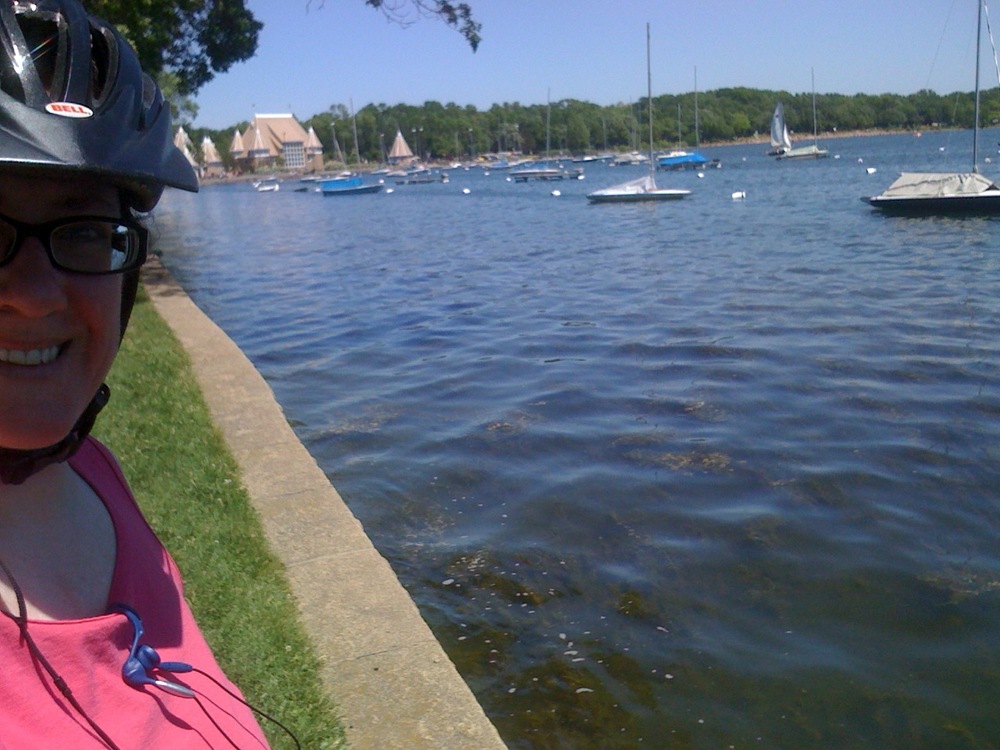
Photo 13, mile 11.75: Lake Harriet
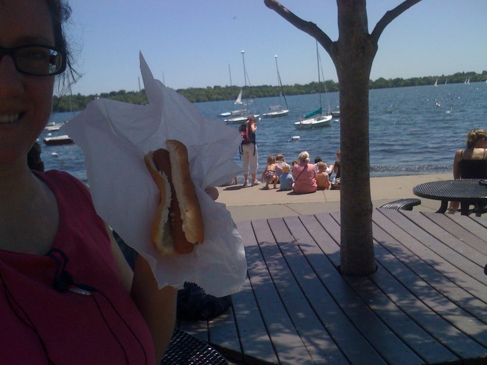
Photo 14, mile 12.75: Lake Harriet, lunch stop. I was really hungry by this time and the hotdog was a good enough combo of carbs and protein.

Photo 15, mile 13.75: Lake Calhoun. The temperature was in the mid-80sF. There were a lot of people enjoying the water.
??

Photo 16, mile 14.75: Lake Calhoun soccer fields
??

Photo 17, mile 15.75: between Lake Calhoun and Lake of the Isles, access point to the Midtown Greenway
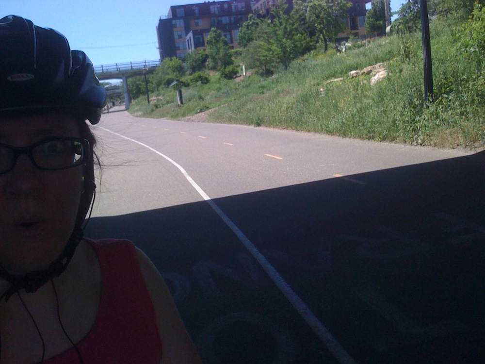
Photo 18, mile 16.75: Midtown Greenway. This follows old railroad tracks along 29th Street.
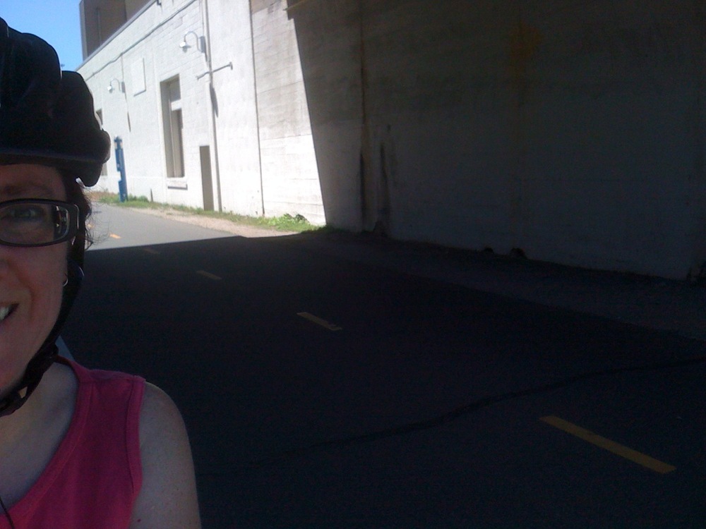
Photo 19, mile 17.75: Midtown Greenway. White building is a Freewheel Bicycle store and pitstop for bikers. It even has showers.

Photo 20, mile 18.75: Midtown Greenway, turning toward Hiawatha Avenue.??
??

Photo 21, mile 19.75: Hiawatha Avenue bike path. Franklin Avenue Light Rail Station in the background, and also downtown Minneapolis skyline. Almost home!

Photo 22, mile 20.58: Home, whew!
??
Satellite Map ?? Google Maps

May 31, 2010 at 5:40 am
Nice.