The day in bike ride: August 29, 2010, with bonus errands
September 1, 2010
My new big thing is the Chef Shack food truck. It’s two chef gals who make amazing culinary delights. They usually post the menu on Facebook, and Saturday morning they also posted a photo of the charcuterie plate that they had on offer at the Kingfield Market in south Minneapolis.

photos © Chef Shack
I didn’t get myself going quickly enough to get down there by the 1:00 end time, so I instead went to the Uptown Market where they also were (I think they have three vehicles—two trucks and one trailer), figuring I’d get it there instead. The round trip to Uptown is about 8 miles; on the way home I jogged down to the store to pick up some necessary items and that added another couple miles.
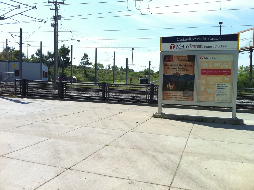
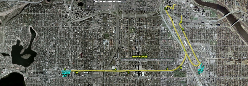
Photo1: entering the Hiawatha commuter trail.
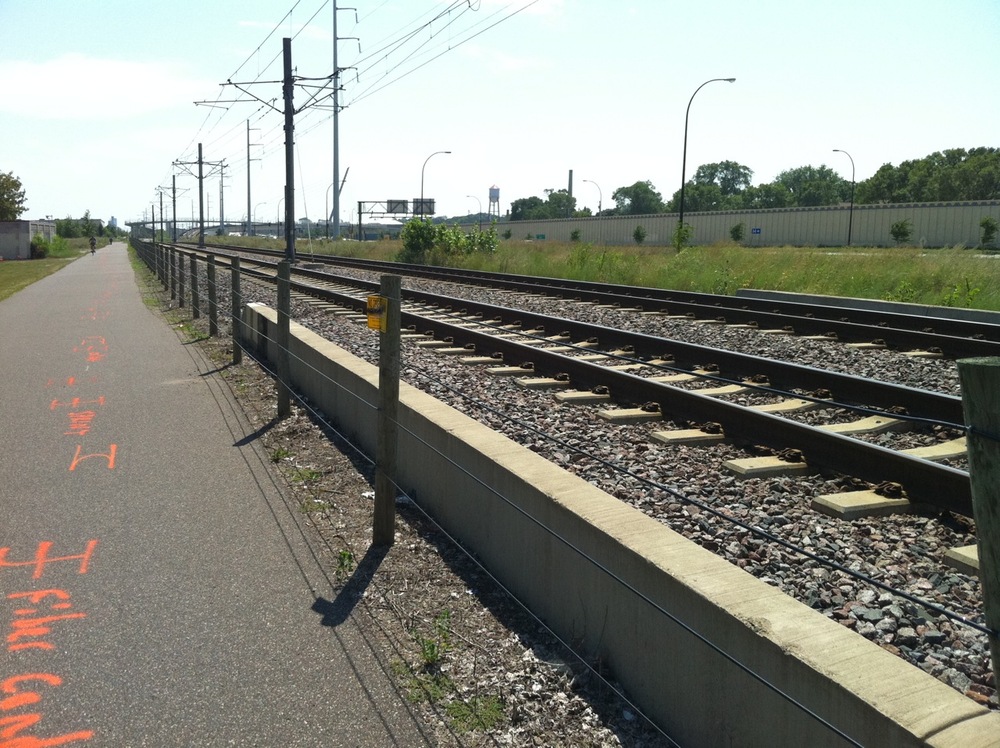
Photo 2: heading southish on the Hiawatha commuter trail to meet the Midtown Greenway.
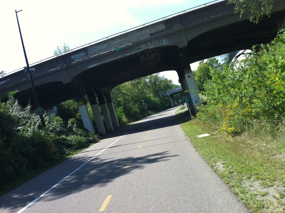
Photo 3: heading west on the Midtown Greenway at 11th Avenue.

Photo 4: Midtown Greenway at 4th Avenue. Thanks for the heads-up, sign.

Photo 5: Bryant Avenue South and 29th Street. I lived in this apartment building for 11 years. Three blocks along 29th are where the Uptown Market is on Sundays.
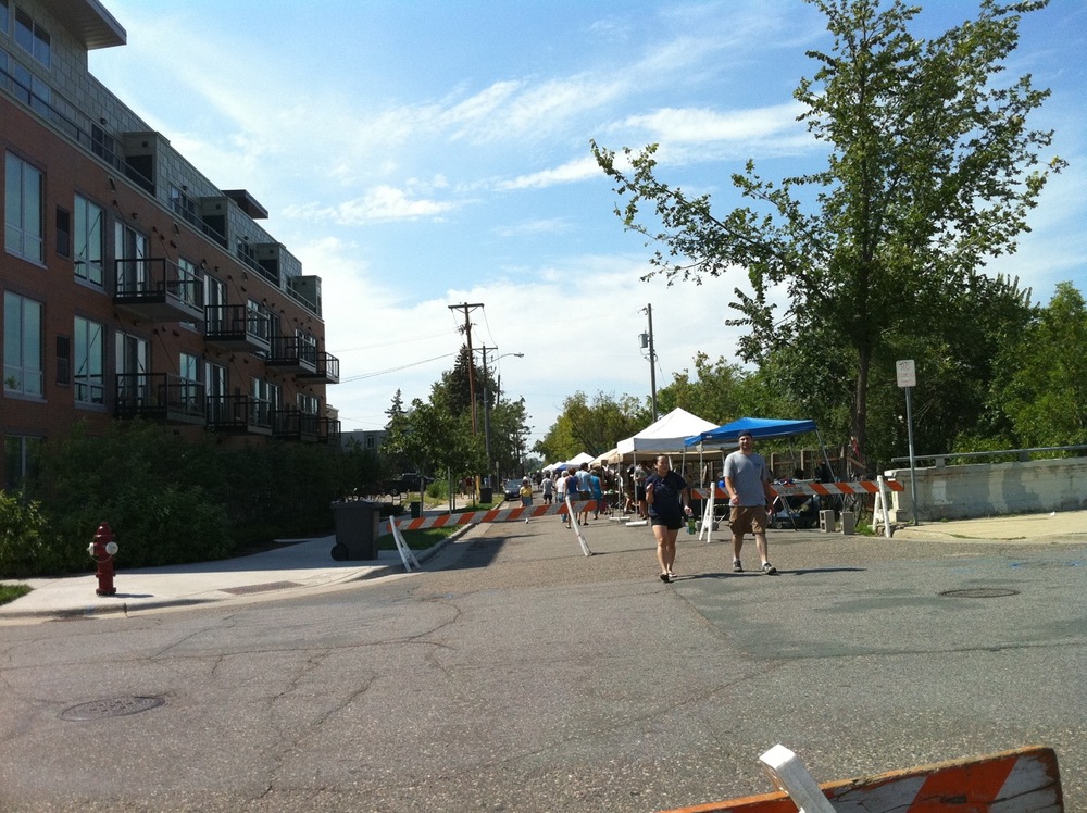
Photos 6: The market, looking west.
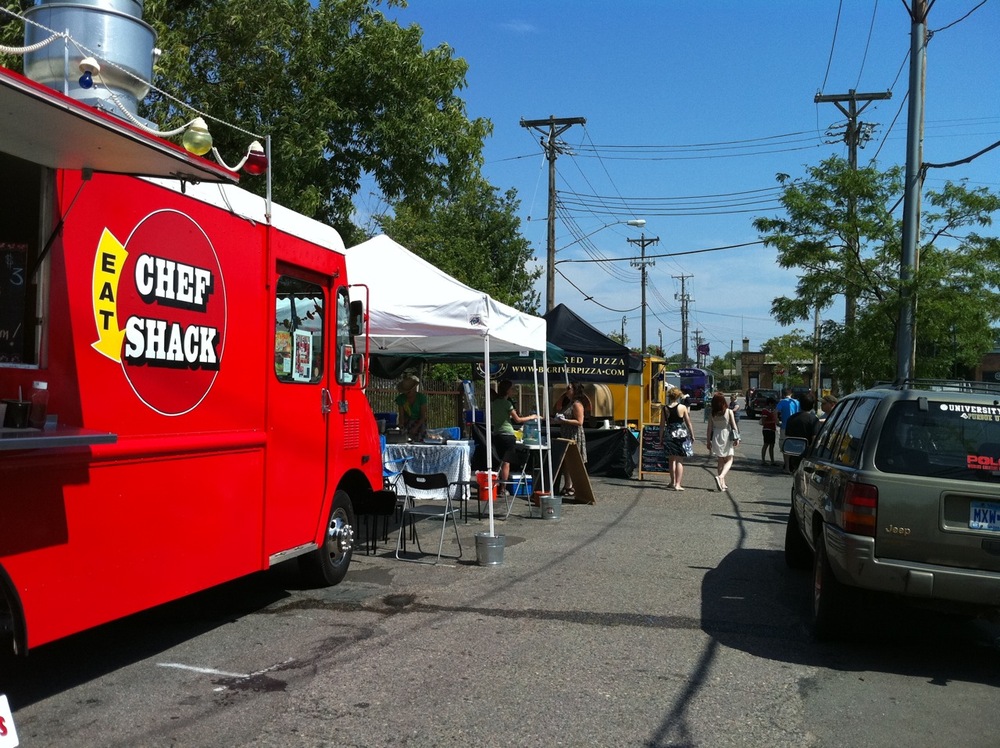
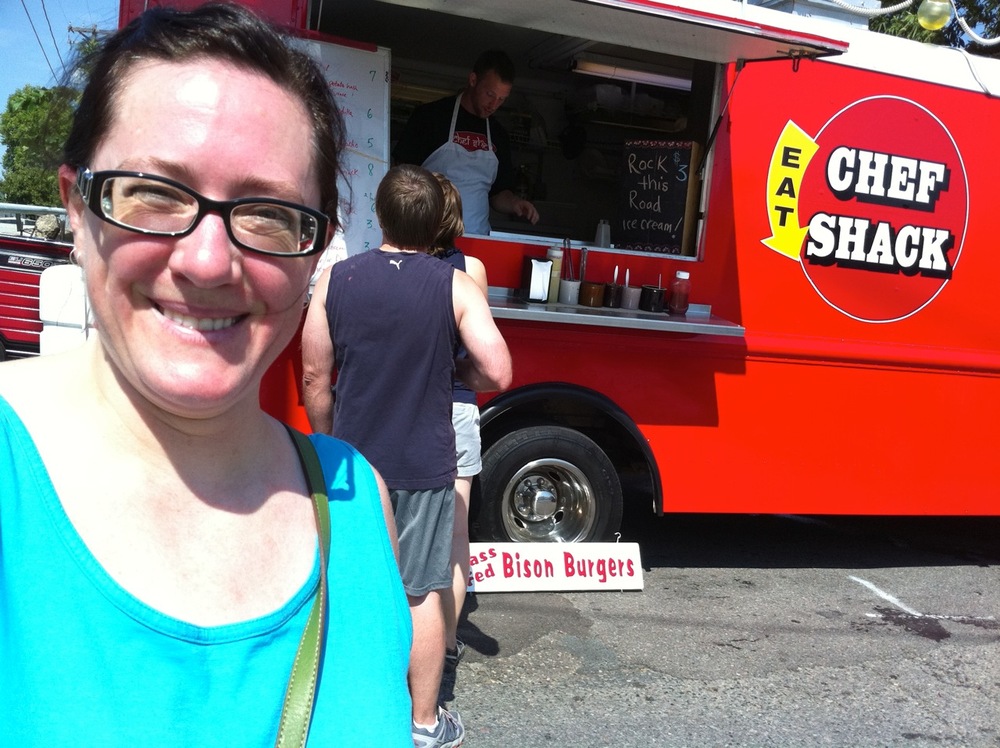
Photo 8: Waiting for my order. It turned out that they didn’t have the charcuterie plate here, so I ordered the bison burger instead.
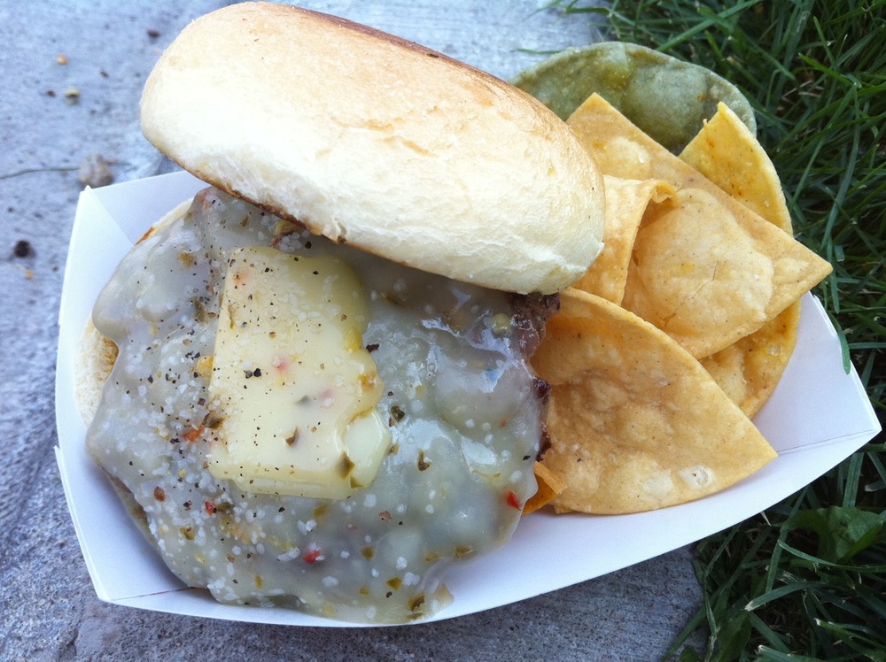
Photo 9: Bison burger with pepperjack cheese and chips. Dining on the curb in the shade. It was quite hot but not too humid so it was just barely tolerable for the exertion of the bike ride.

Photo 10: One of the many gardens along the Greenway, at Harriet Avenue South.
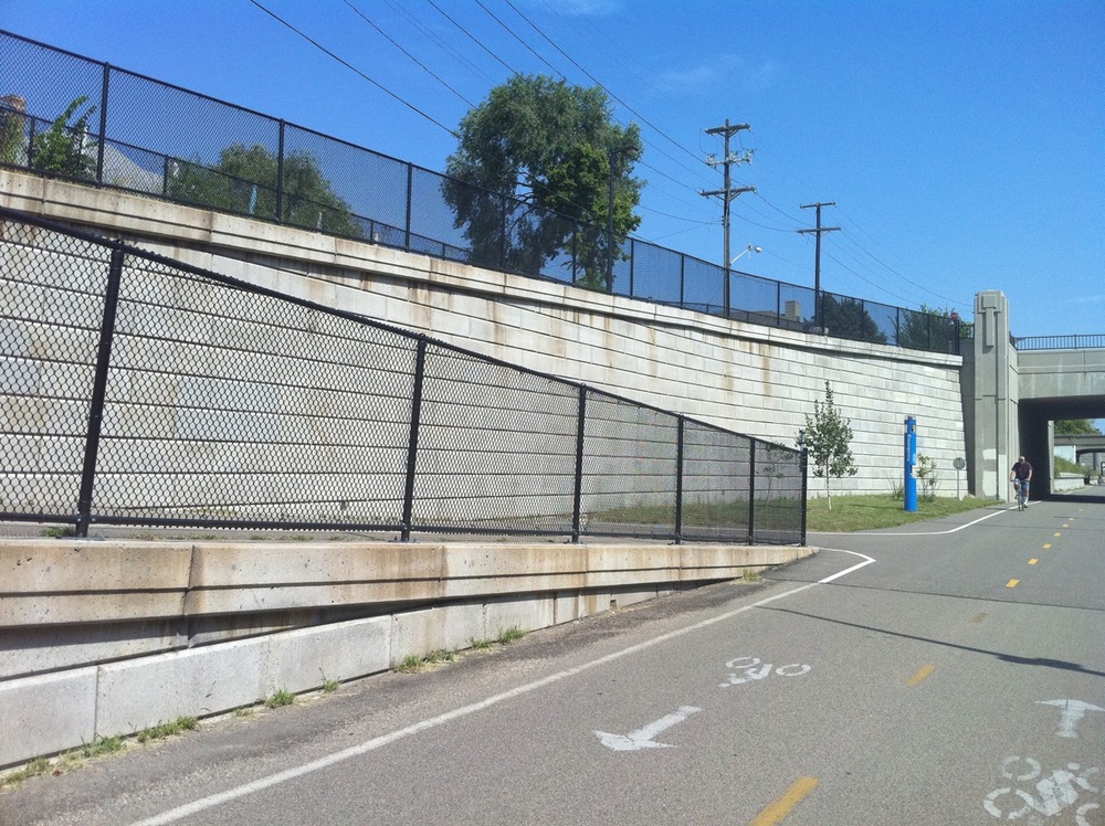
Photo 11: Heading back east along the Greenway. Access ramp at Park Avenue South.

Photo 12: The Greenway jogs north across 28th Street to cross the busy Hiawatha Avenue/Highway 55.
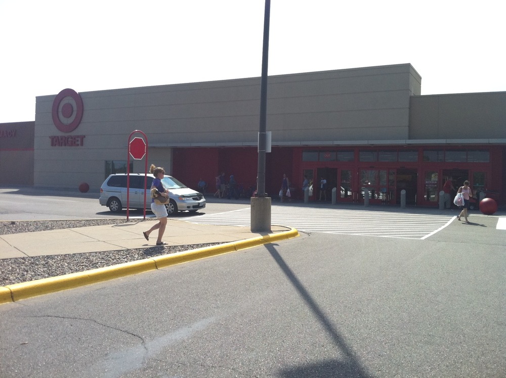
Photo 13: Target. Errand stop number one.

Photo 14: Cub Foods. Errand stop number two.

Photo 15: Cheese!
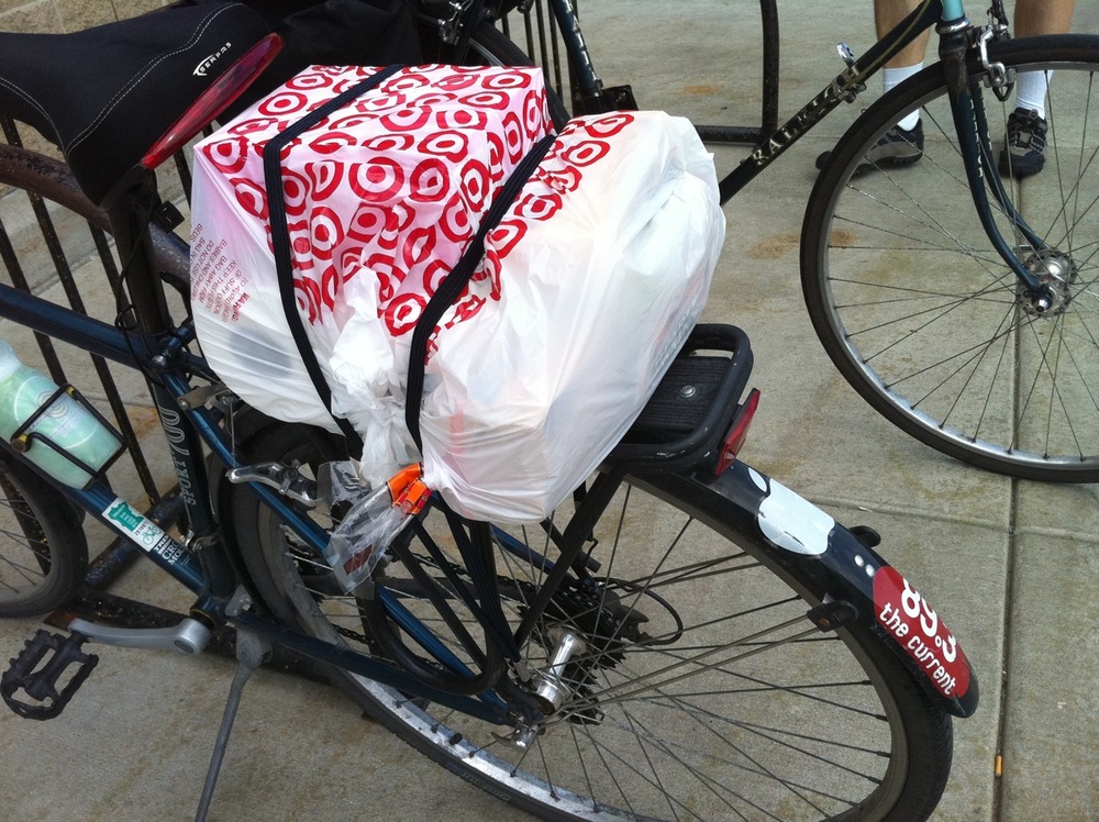
Photo 16: All items procured. I think this will work.
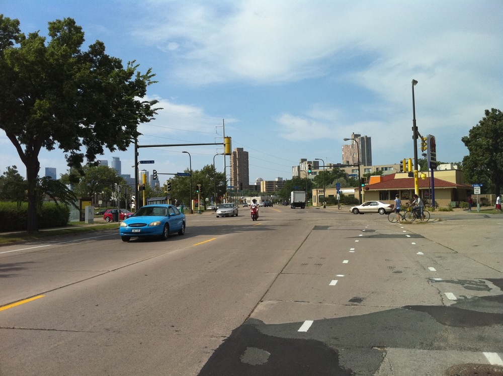
Photo 17: Approaching the weirdo intersection of Minnehaha, Franklin, and Cedar Avenues.

Photo 18: 20th Avenue, just about to cross Interstate 94. The home stretch.
A microcosm of my neighborhood
July 22, 2010
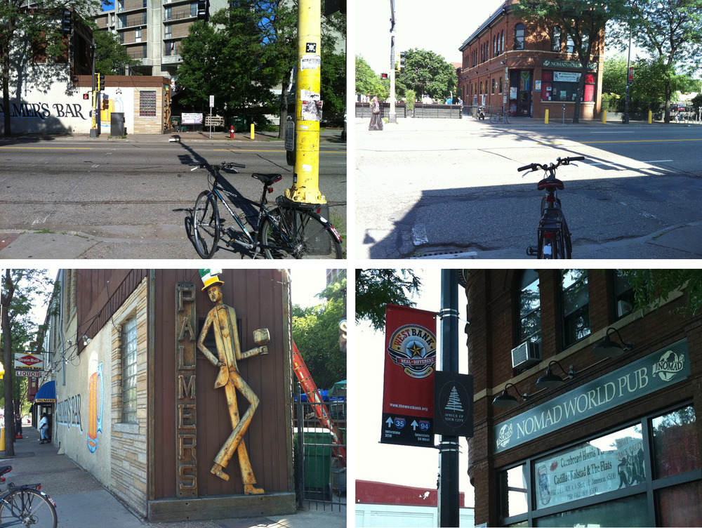
It would be easy to answer the question ???what do you use every day???? with the obvious answer of ???eyeglasses??? or ???computer??? or ???toilet.??? But a more un-obvious answer is this crosswalk at Cedar Avenue and what would be 5th Street if 5th Street went all the way through. And on either side of the crossing are bars that represent the diversity of the neighborhood.
You will recall from my post a couple of days ago I mentioned that the majority in the neighborhood is African immigrants. There are also some southeast Asians. But in this case by diversity, I???m talking about the white Americans in the area, which borders two different university campuses. We whites range from 20-something college students to aging nuts-and-love hippies. I fall in the middle of that spectrum. I spent many years in college but I am no longer 20-something or even close to it, and neither my parents nor I were ever hippies, though I do remember making daisy crowns as a child.
In the morning when I use the crosswalk, I get a minute or two to study the hippy and drunk neighborhood institution, Palmer???s Bar. Palmer???s is referred to, at times even lovingly, as a dive. I???ve never actually been inside. When I pass it in the morning on my way to work, I do occasionally see people making a beeline for the door. Whether they are employees or patrons, I couldn???t say, other than to note that I never seem to same people twice. Other than that one woman. But she did not appear to be on her way to work.
In the afternoon, I pass by Nomad World Pub. This place I have spent a few dollars in. They have a good beer list and, as I now recall, this is where I first saw Romantica, as they were the band-in-residence for a few Thursdays a couple of summers ago. This is where the college kids hang out and play bocci ball. This is the bar that hired in a giant screen tv to their parking lot for the important (read: USA and finals) World Cup matches. On summer nights when I have my windows open, I am quite able to hear the live music, because they leave their back door open. Also, they use to have an animated rabbit graphic on their web page. Unlike Palmer???s, I often see the same man hanging around the Nomad and I take him to be the owner.
Recently, the crosswalk was upgraded. It always had the lights and the button to trigger the right-of-way. But now it speaks. It says, ???Wait ??? ??? ??? wait ??? ??? ??? wait ??? ??? ?????? When you push the button for the walk light???which seems like it takes FOREVER to change???it then says in a reassuring male voice, ???Cedar Avenue. Walk light is on to cross . . . . . Cedar Avenue. Walk light is on to cross . . . . . ?????
Unless it is before 8:30am when traffic is heavier, I don???t usually push the button, I just jaywalk, or jaybike as it were. In the afternoon I???m on the side of the road I need, so I don???t use the right-of way (the Nomad-looking photo of the crossing was staged, I confess), though I do use the wheelchair ramp to the sidewalk, being on wheels myself. About?? half the time I have to excuse a pedestrian out of my way.
Yep, you never knew a crosswalk could be so interesting, did you?
The day in bike ride: June 6, 2010
June 7, 2010
??
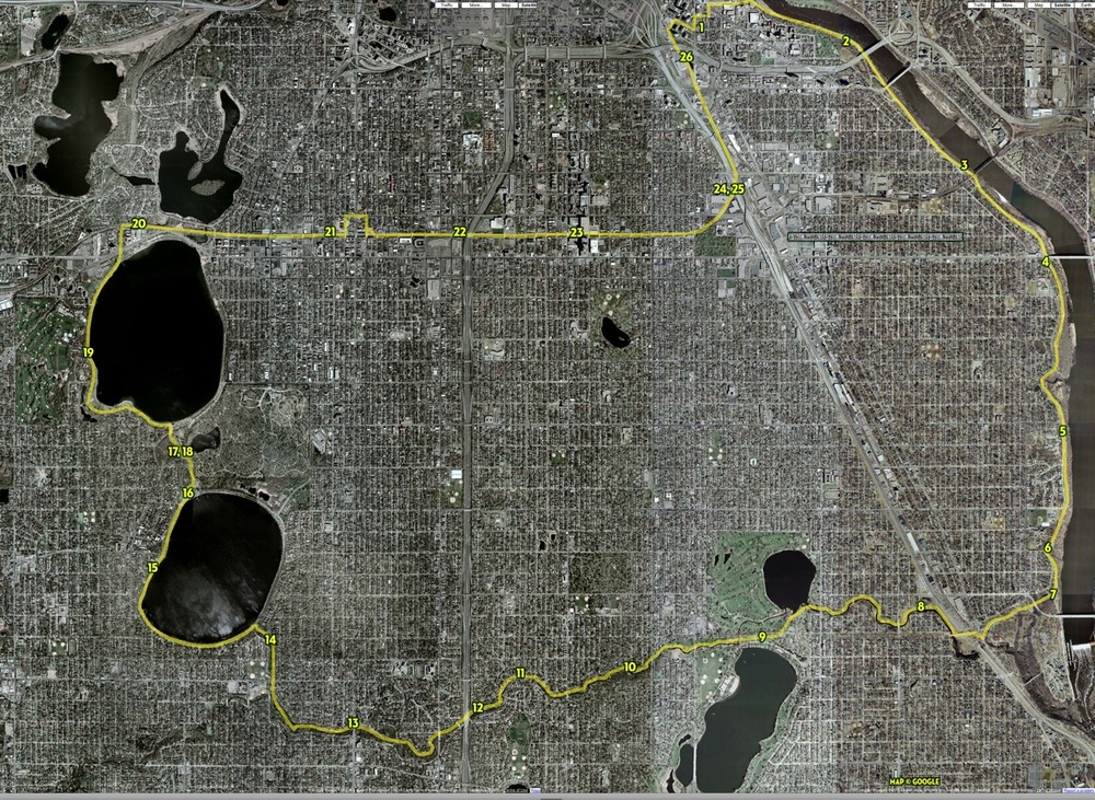
I did the 20-mile bike ride again today. The forecast called for unsettled weather in the afternoon, but I chose to defy the gods and set out. This time I had the photo plan in mind from the outset so this time the pictures are on the even mile marks. I mostly took them in motion looking straight ahead, unless there was something interesting to the side. I decided you didn???t need to see my mug in every shot this time.

Photo 1, mile 0. Stop at the neighborhood bicycle shop to blow up my tires. It was breezy so I figured if my tires were nice and plump, I???d have a better time of it.
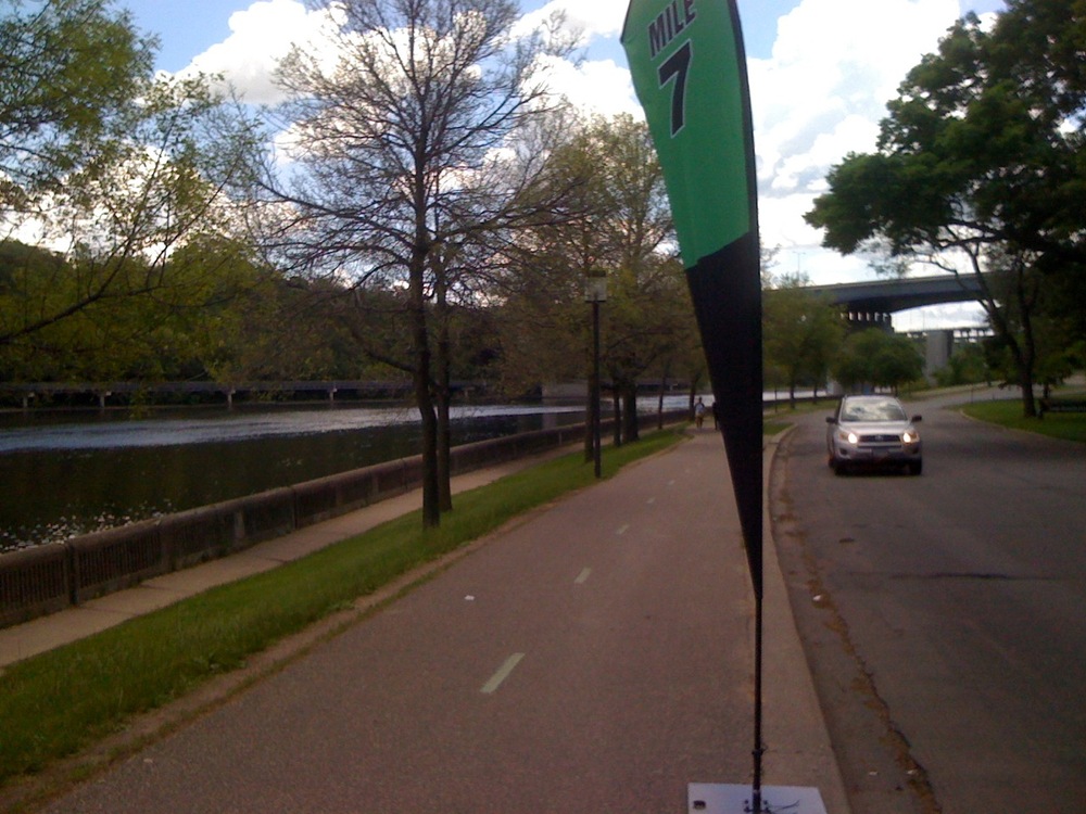
Photo 2, mile 1. Mississippi River. Apparently it was Mile 7 for the Minneapolis Marathon. Oh great, am I going to have to dodge joggers all ride?
??
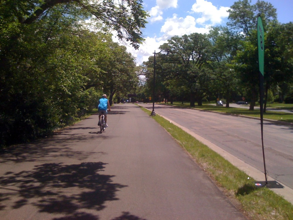
Photo 3, mile 2. Mississippi River, Mile 8 for the marathon.
??
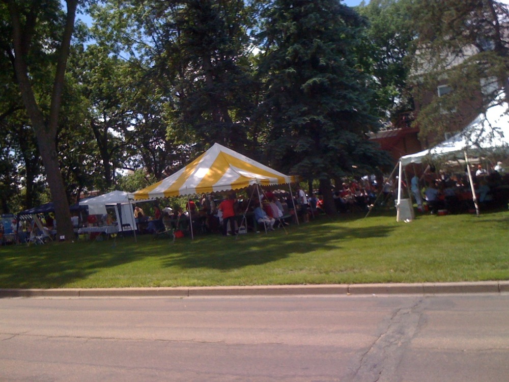
Photo 4, mile in-between. A party on the lawn at the American Danish Institute.
??
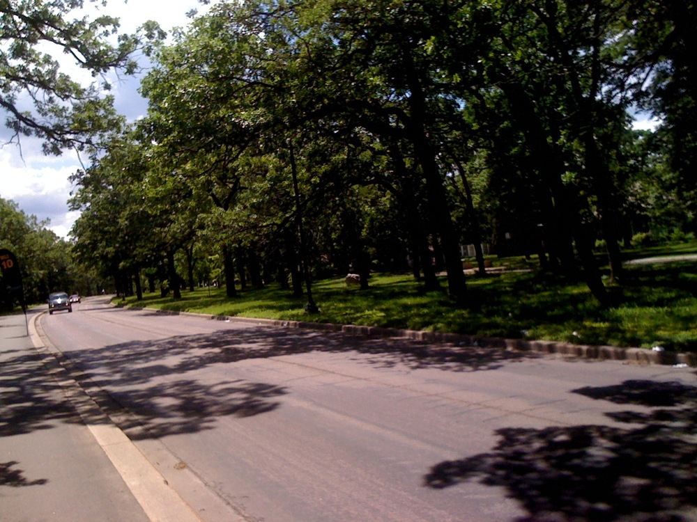
Photo 5, mile 3. Mississippi River
??
Photo 6, mile 3.5. Mississippi River. Sometimes you gotta do what you gotta do.
??
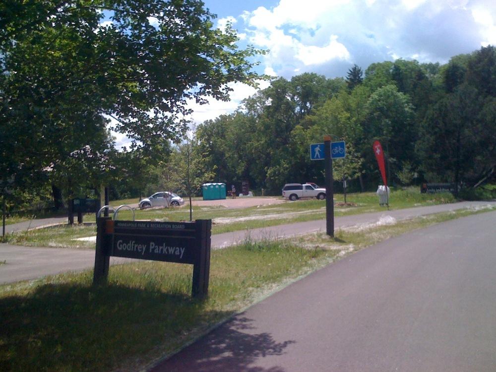
Photo 7, mile 4. Mississippi River, Godfrey Parkway, road to the Lock & Dam #1.
??
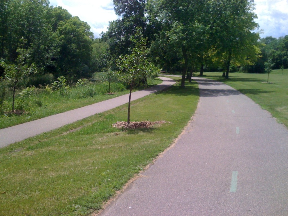
Photo 8, mile 5. Minnehaha Creek
??

Photo 9, mile 6. In between Lakes Hiawatha and Nokomis. Lifeguards on duty.
??
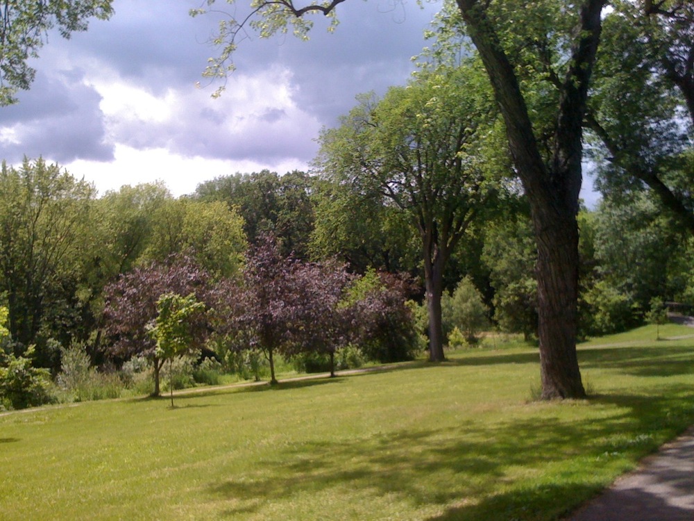
Photo 10, mile 7. Minnehaha Creek and Parkway
??
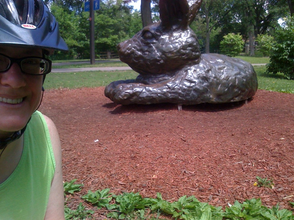
Photo 11, mile in-between. Hello, ???Cottontail on the Trail???!
??
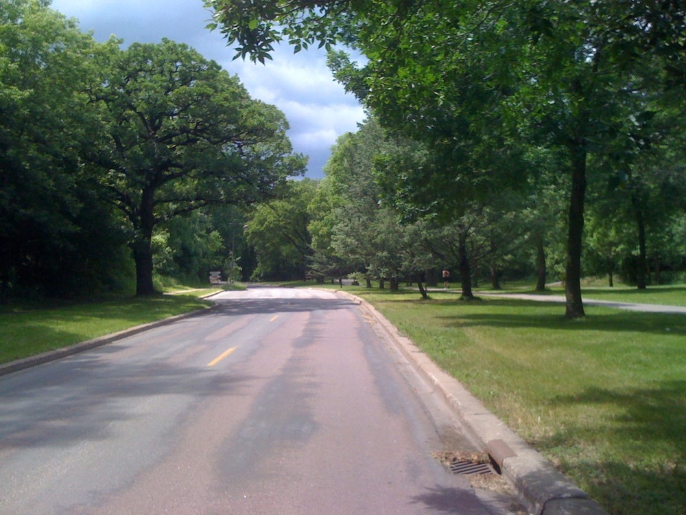
Photo 12, mile 8. Minnehaha Creek, approaching the underpass of I-35 where there is road/path construction.
??
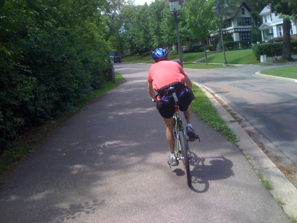
Photo 13, mile 9. Minnehaha Parkway. Two dudes in coral-colored shirts passed me. Then I showed them when there was a sharp uphill and I passed them back, without even trying. Thank you, Curves!
??
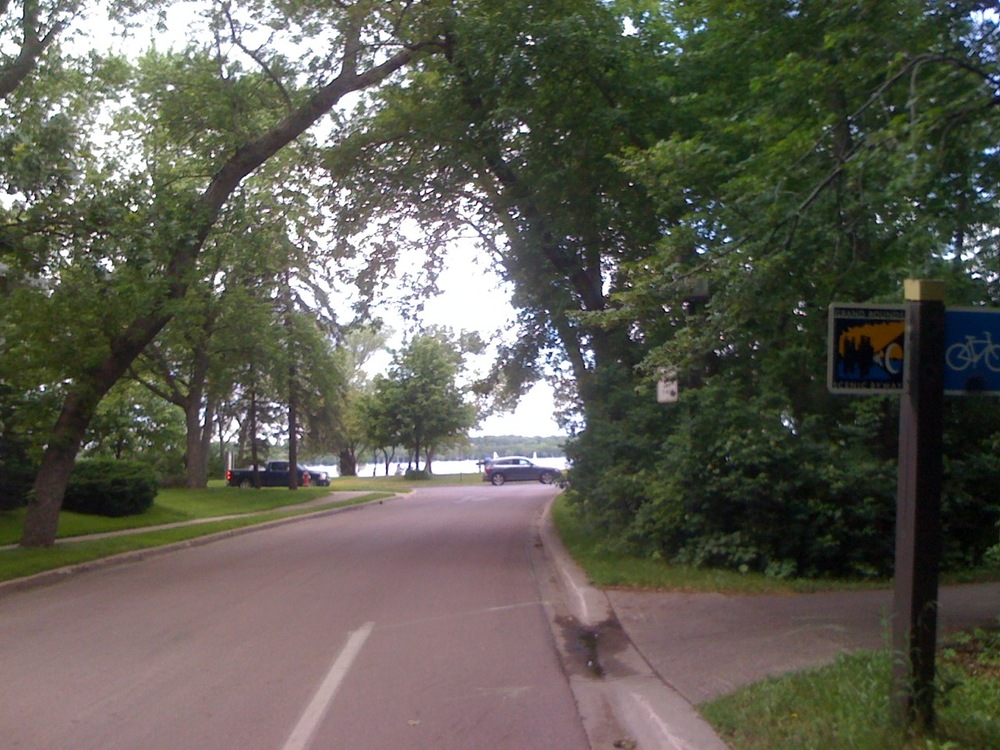
Photo 14, mile 10. Approaching Lake Harriet
??

Photo 15, mile 11. West side of Lake Harriet
??

Photo 16, mile in-between. I did not need the hotdog stop today. However, the Inver Hills Community Band was warming up to perform in the Lake Harriet Bandshell, so I still stopped for a few minutes.
??

Photos 17,18, mile 12. Between Lakes Harriet and Calhoun. There is a sightseeing trolley train that putt-putts between the lakes.
??
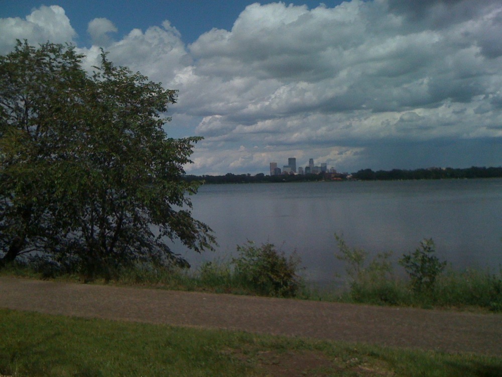
Photos 19, mile 13. West side of Lake Calhoun. Minneapolis downtown skyline in the distance. It started raining about here.
??
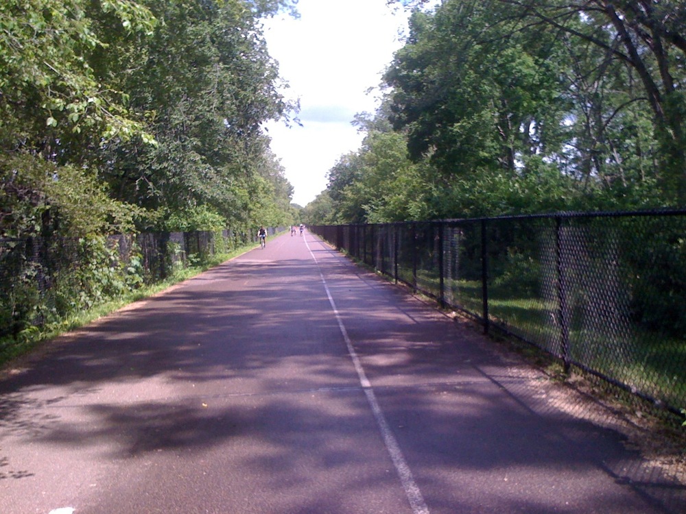
Photo 20, mile 14. Midtown Greenway. I took a slightly different path to the Greenway today. Had to wait for a long traffic light. It stopped raining. The sun came back out and the smell reminded me of the swimming pool in the summer when I was a kid.
??
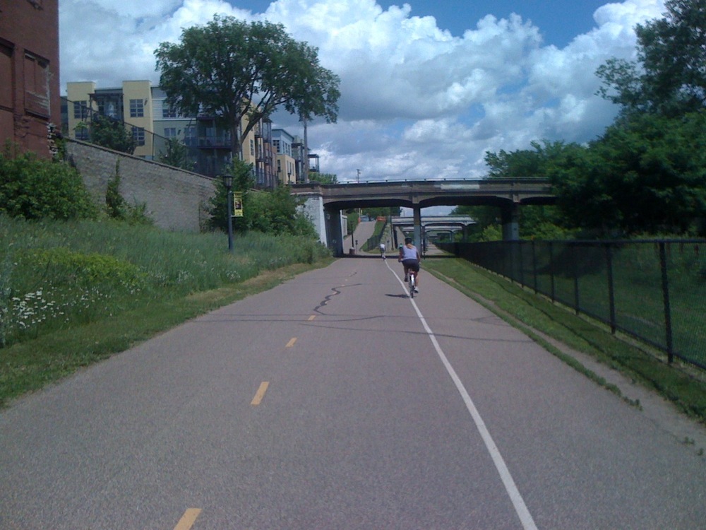
Photo 21, mile 15. Midtown Greenway, just before the Bryant Avenue access point. I used to live there. I miss it. Also, I took a slight detour off the path to go look at something that might be important in my future.
??
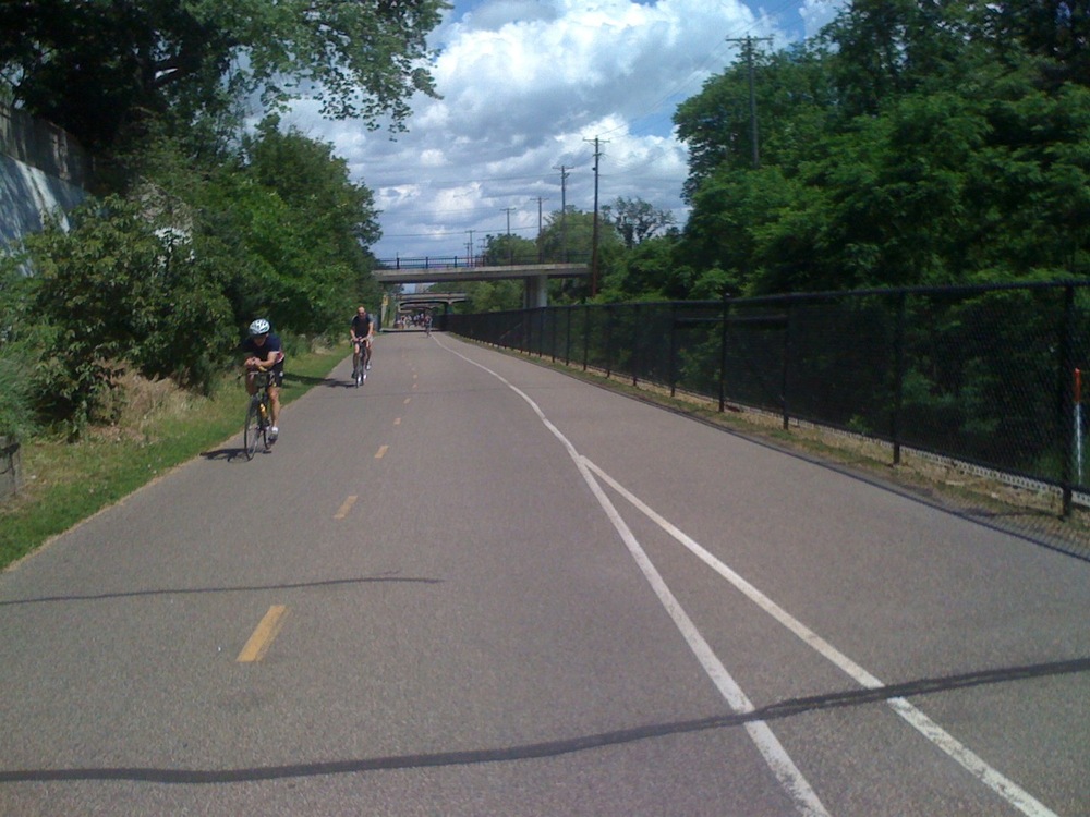
Photo 22, mile 16. Midtown Greenway
??

Photo 23, mile 17. Just before Freewheel Bicycle???s Midtown Greenway location.
??


Photo 24, 25, mile 18. The fancy shmancy bridge over Hiawatha Avenue.
??

Photo 26, mile 19. Hiawatha commuter trail, almost home. The awesome, ugly high-rises that are the landmark of my neighborhood.
??
The mileage seems to have not quite worked out, because it’s still 20.5 miles, but you get the idea.
Bridge to Augsburgithia
June 2, 2010
All day long, I was trying to think of someplace to explore where I hadn???t been before, which would make me feel uncomfortable being there, and which was conveniently located due to my feeling that I never have enough time. I realized that if it were conveniently located, it would be unlikely to make me feel uncomfortable because convenience would mean it was somewhere between home and work.
If I had had more ambition, I thought it would be interesting to go to a Mexican restaurant in a Latino neighborhood. I had two years of Spanish in junior high and can get the gist of a conversation and pronounce menu items correctly. When I go to Chicago, I always listen to the Spanish language radio stations in the car. Going to a Mexican restaurant would be uncomfortable but would have a delicious payout. Today was a lazy day.
By the time I left work, I had instead convinced myself that Pizza Luc?? would be the perfect supper, no discomfort necessary. In addition to whole pies, they sell by the slice and each day feature different meat and veggie selections. The only question was whether to go to the one a couple of block from my office or the one a few blocks from my home. I chose home.
The Seward Neighborhood Pizza Luc?? is about a half mile further. To get to it, I have to cross I-94 and then travel a few blocks on a busy street. I rode on the sidewalk going and resolved to take the side street between the freeway and the busy street on the way back.
I picked up my slices and headed to the side street. Trouble was, it was one-way in the opposite direction that I needed to go. Maybe it makes me sappy, but as a bicyclist I do follow the rules of the road 98% of the time. I don???t blow through red lights and I come to a complete stop at stop signs even when no one???s there. I prefer not to ride on the sidewalk (though I will), and riding the wrong way just isn???t right.
So I paused at the corner, debating which was the lesser of the two evils, sidewalk or wrong way. I just happened to look the other way and spied the solution to my dilemma???a pedestrian bridge over the interstate. And it fulfilled another need, to explore someplace new.
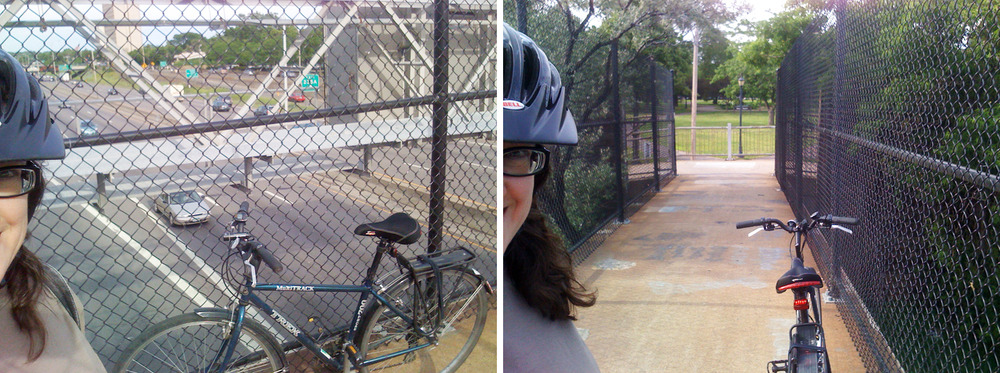
I???d never even realized it was there. It???s just to the east of 22nd Avenue and crosses to Augsburg College. There was nothing uncomfortable about it, though as I stood still to take the pictures, it was disconcerting to feel the vibrations caused by the traffic hurtling past underneath. I???d never been in the part of Augsburg where it came out. I found myself at a little town square type park and another one-way street going in the opposite direction. This time I only had to go one block against the grain so I said screw it, yet it that short distance I had to dodge two cars and one pedestrian.
I got home and enjoyed some tasty pizza.
The day in bike ride: May 29, 2010
May 31, 2010

I finally went on a ride I???ve been wanting to, down the Mississippi River to Minnehaha Creek, up the sides of a couple of lakes, and back home on the Midtown Greenway to the Hiawatha path. It???s 20.5 miles. I stopped to take a photo approximately every mile and here they are, locations duly noted on the map.

Photo 1, mile 0.75: Mississippi River. I didn???t think to start taking photos until I got down to the river, hence the 3/4 measurement.

Photo 2, mile 1.75: Mississippi River
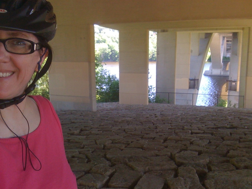
Photo 3, mile 2.75: Mississippi River, under the Lake Street Bridge
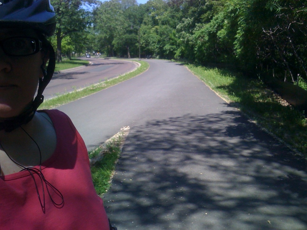
Photo 4, mile 3.75: Mississippi River
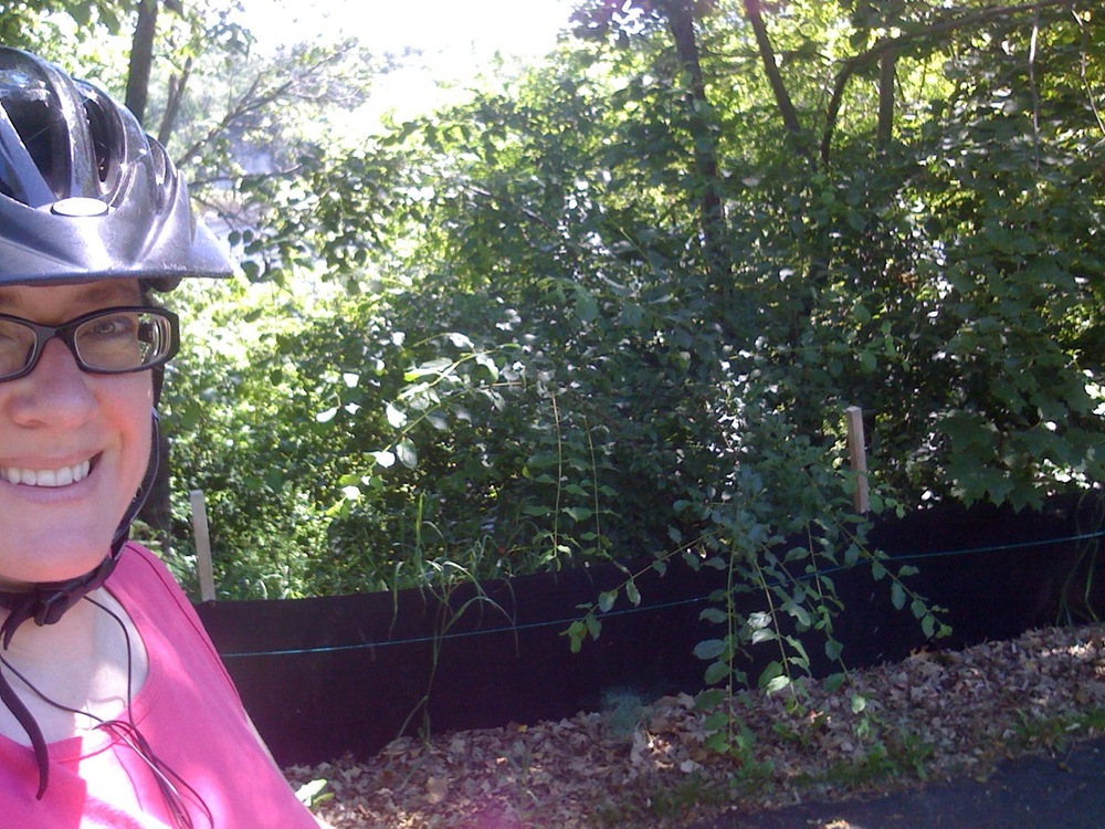
Photo 5, mile 4.75: Mississippi River, near the turn-off for Lock & Dam #1
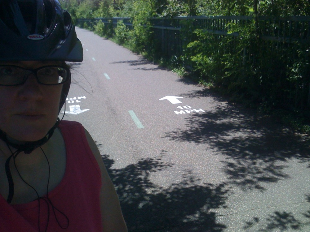
Photo 6, mile 5.75: Minnehaha Parkway

Photo 7, mile 6.75: Minnehaha Parkway, between Lakes Hiawatha and Nokomis
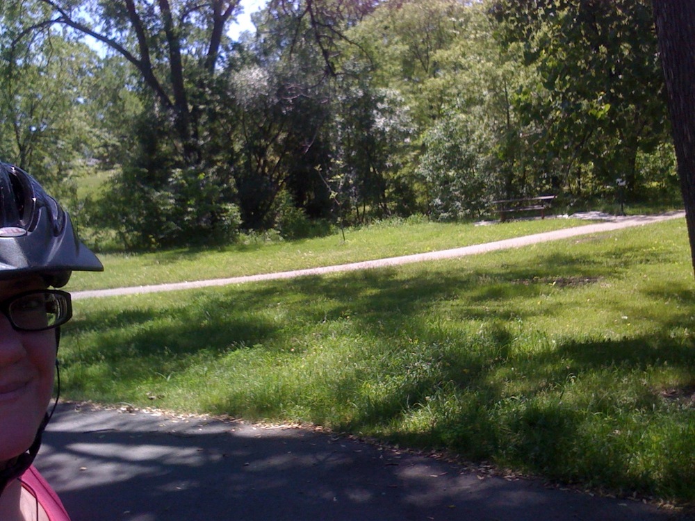
Photo 8, mile 7.75: Minnehaha Parkway
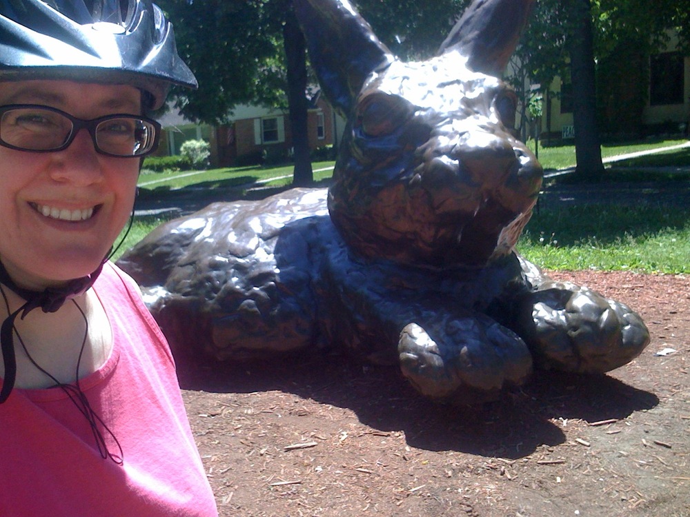
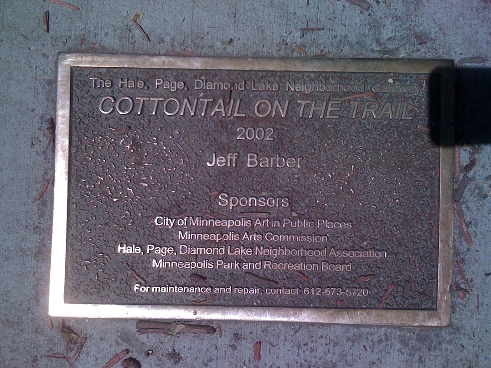
Photos 9, 10, mile 8.75: Minnehaha Parkway, ???Cottontail on the Trail??? at Portland Avenue. I did not know this was there, and it was time for a photo, honest!
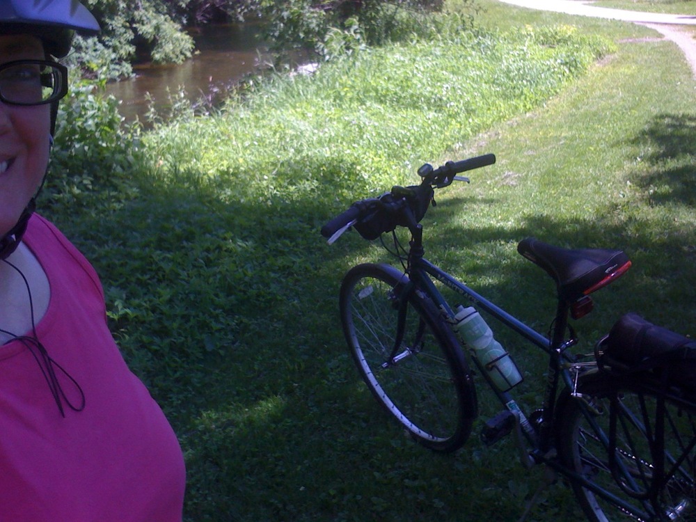
Photo 11, mile 9.75: Minnehaha Parkway
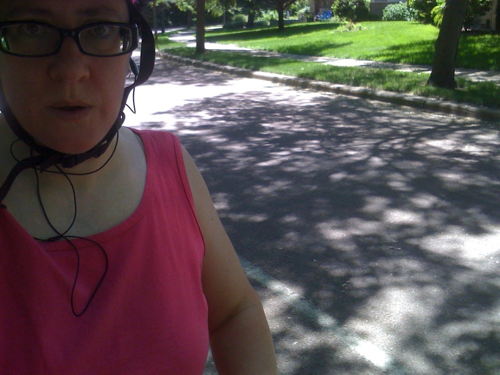
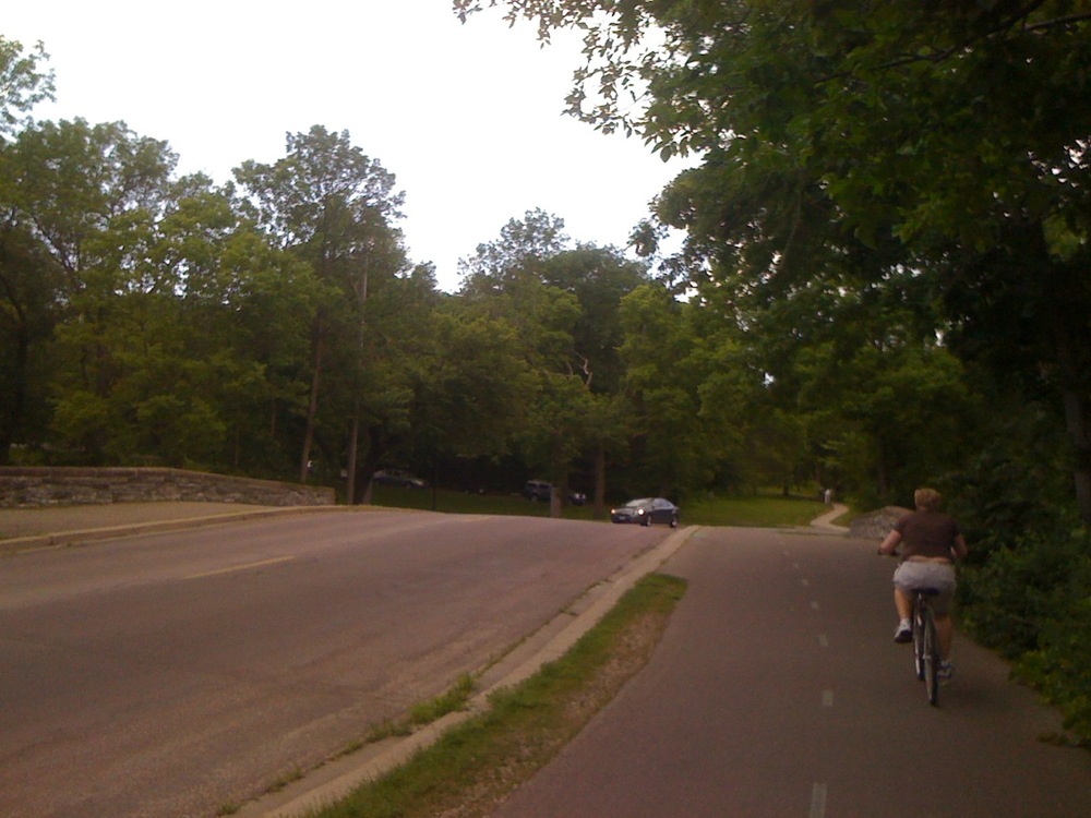
Photo 12, mile 10.75: jog up to Lake Harriet
??
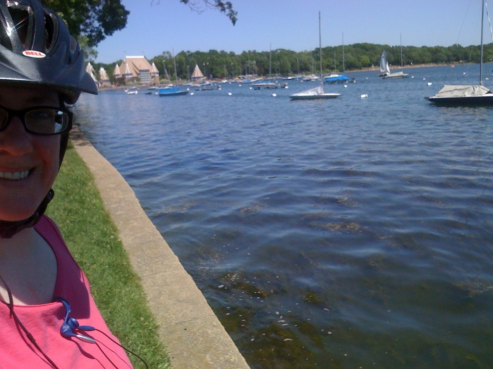
Photo 13, mile 11.75: Lake Harriet
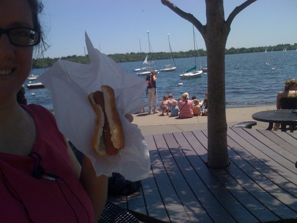
Photo 14, mile 12.75: Lake Harriet, lunch stop. I was really hungry by this time and the hotdog was a good enough combo of carbs and protein.
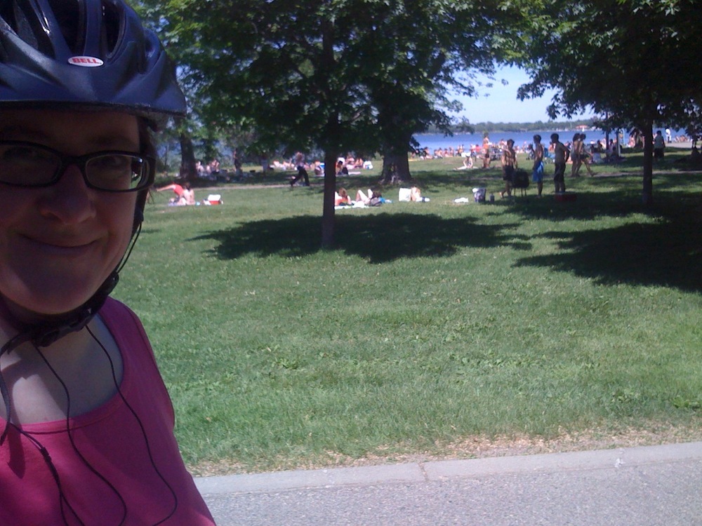
Photo 15, mile 13.75: Lake Calhoun. The temperature was in the mid-80sF. There were a lot of people enjoying the water.
??

Photo 16, mile 14.75: Lake Calhoun soccer fields
??

Photo 17, mile 15.75: between Lake Calhoun and Lake of the Isles, access point to the Midtown Greenway
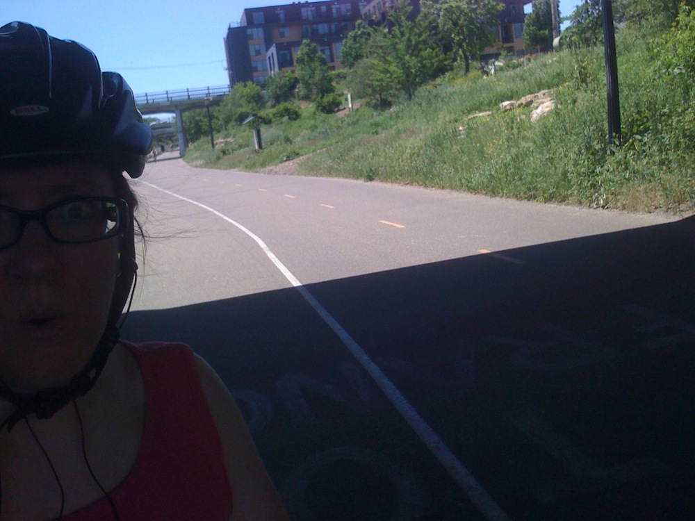
Photo 18, mile 16.75: Midtown Greenway. This follows old railroad tracks along 29th Street.
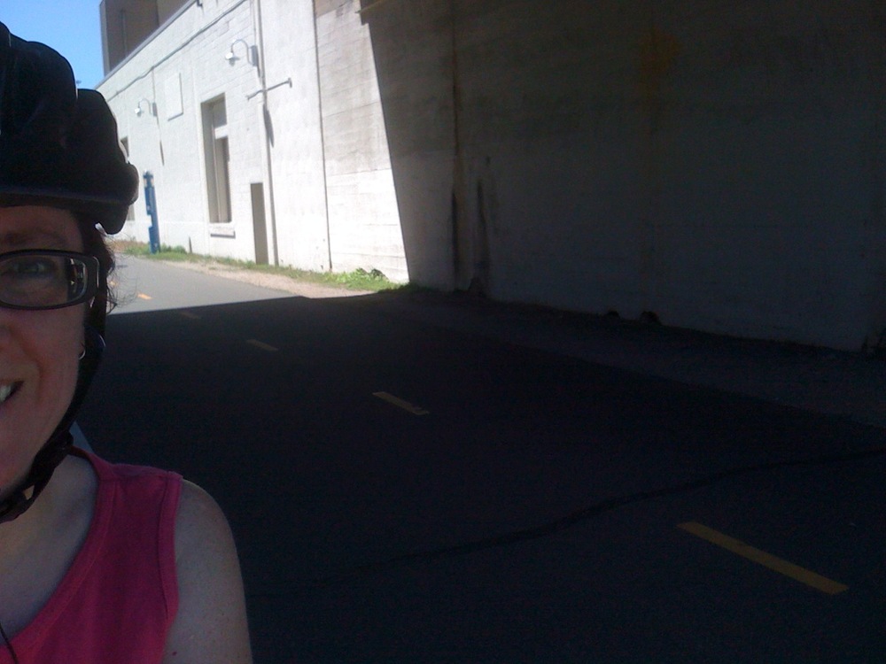
Photo 19, mile 17.75: Midtown Greenway. White building is a Freewheel Bicycle store and pitstop for bikers. It even has showers.

Photo 20, mile 18.75: Midtown Greenway, turning toward Hiawatha Avenue.??
??

Photo 21, mile 19.75: Hiawatha Avenue bike path. Franklin Avenue Light Rail Station in the background, and also downtown Minneapolis skyline. Almost home!
Photo 22, mile 20.58: Home, whew!
??
Satellite Map ?? Google Maps
